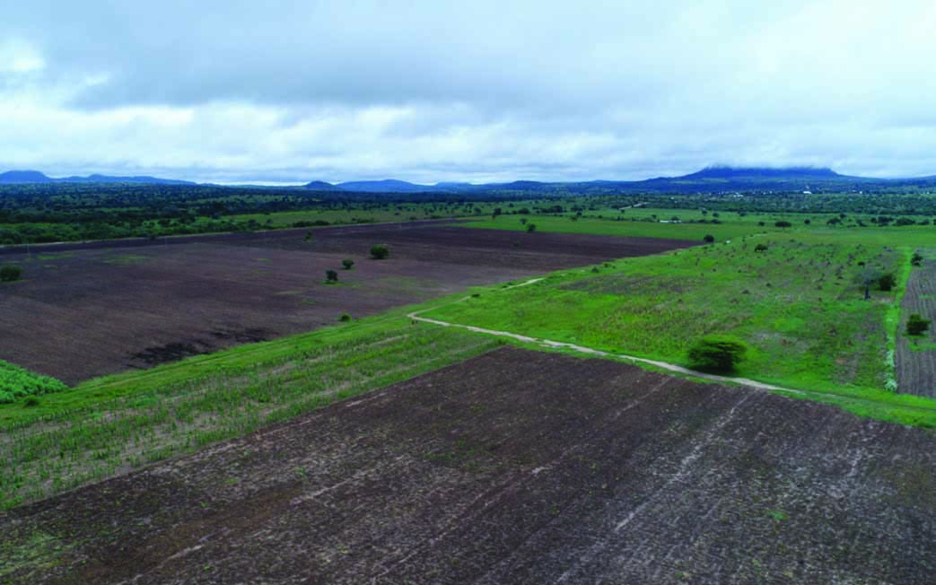
Shanta Mining Company Ltd- Singida Project is wholly owned by Shanta Gold Ltd. It is situated at Ikungi District of Singida Region in central Tanzania. It is a greenfield project and has started with the preliminary design and construction of the Processing facility. In order to keep and understand vegetation cover and community setting in the vicinity of the constructed gold mine in Singida before commission of the project. Shanta decided to carry out aerial topographical survey of the licensed area. Tansheq provided the services for carrying out the topographical survey for Singida Gold Mine Project in Ikungi, Singida Region By using our Tanzania Civil Aviation Authority (TCAA) certified pilots and registered drones, Tansheq carried out Baseline Environmental Assessment as per Shanta required which include
- Taking aerial photographical survey by using RPA (Drone)
- Georeferencing the images captured
- Overlapping the georeferenced images and overlaying them
- Preparation of georeferenced mosaic dataset
Advantages of utilizing RPA in collecting environmental baseline information includes:
- High spatial resolution data
- Ability to target small areas at virtually any time
- Quantitative, geo-referenced data facilitates measurement of small changes over time-frames that take account of the ‘target / question’
- Non-intrusive method of acquiring data
- Improved efficiency and effectiveness of ground surveys
- Access to remote / inaccessible areas
- Not impeded by cloud cover
- Reduced health and safety risk

